Open Mobile Maps for iOS
A native mobile SDK for OpenStreetMap-map-data on iOS and Android.

As I'm in Switzerland right now, I had to download the local apps for public transport, weather etc. Then I was curiouos who's responsible for them and so I found out that these amazing people have developed an open source SDK for OpenStreetMap called Open Mobile Maps. It's available for both Android and iOS, although I just looked at the iOS-version, for obvious reasons.
Using the SDK is pretty straight forward:
- Add the maps-core-repo as a dependency to your project using Swift Package Manager.
- Do some configuration and show a
MCMapViewusing this configuration. - There's no 3.
The only thing you have to bring to the table is a Tile Server. There are several guides on the Internet on how to setup one. But instead of a burden, consider this a huge advantage: You have full control over the map's style, just by changing the URL.
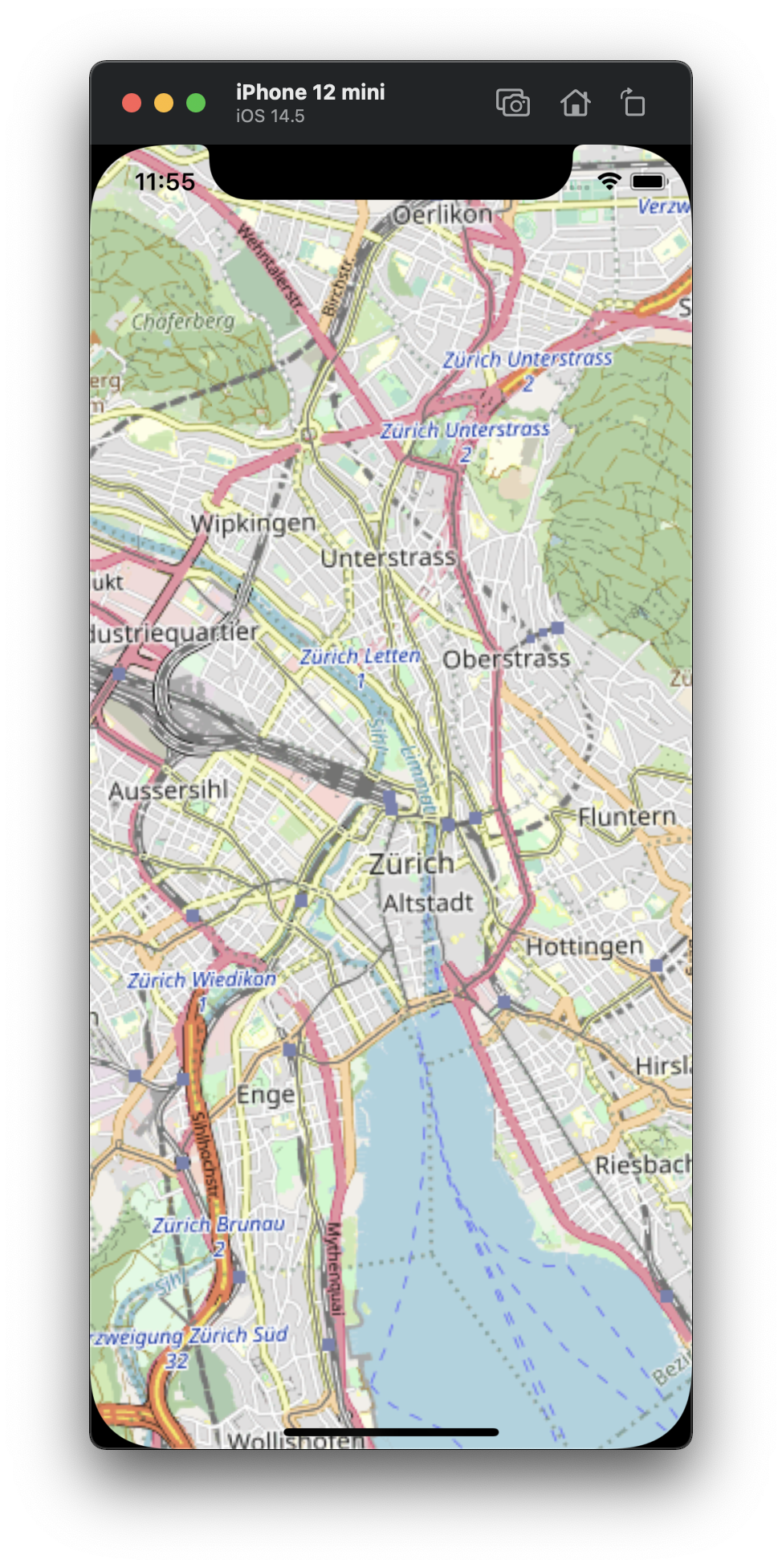
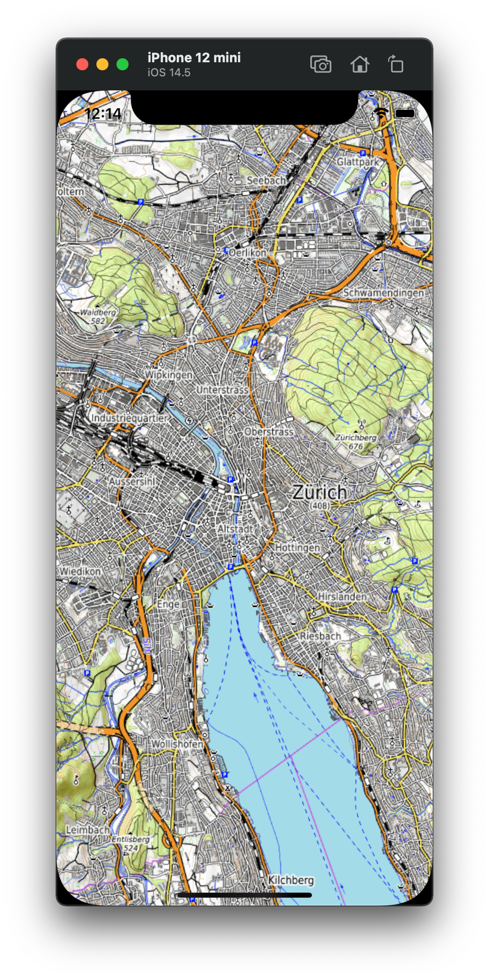
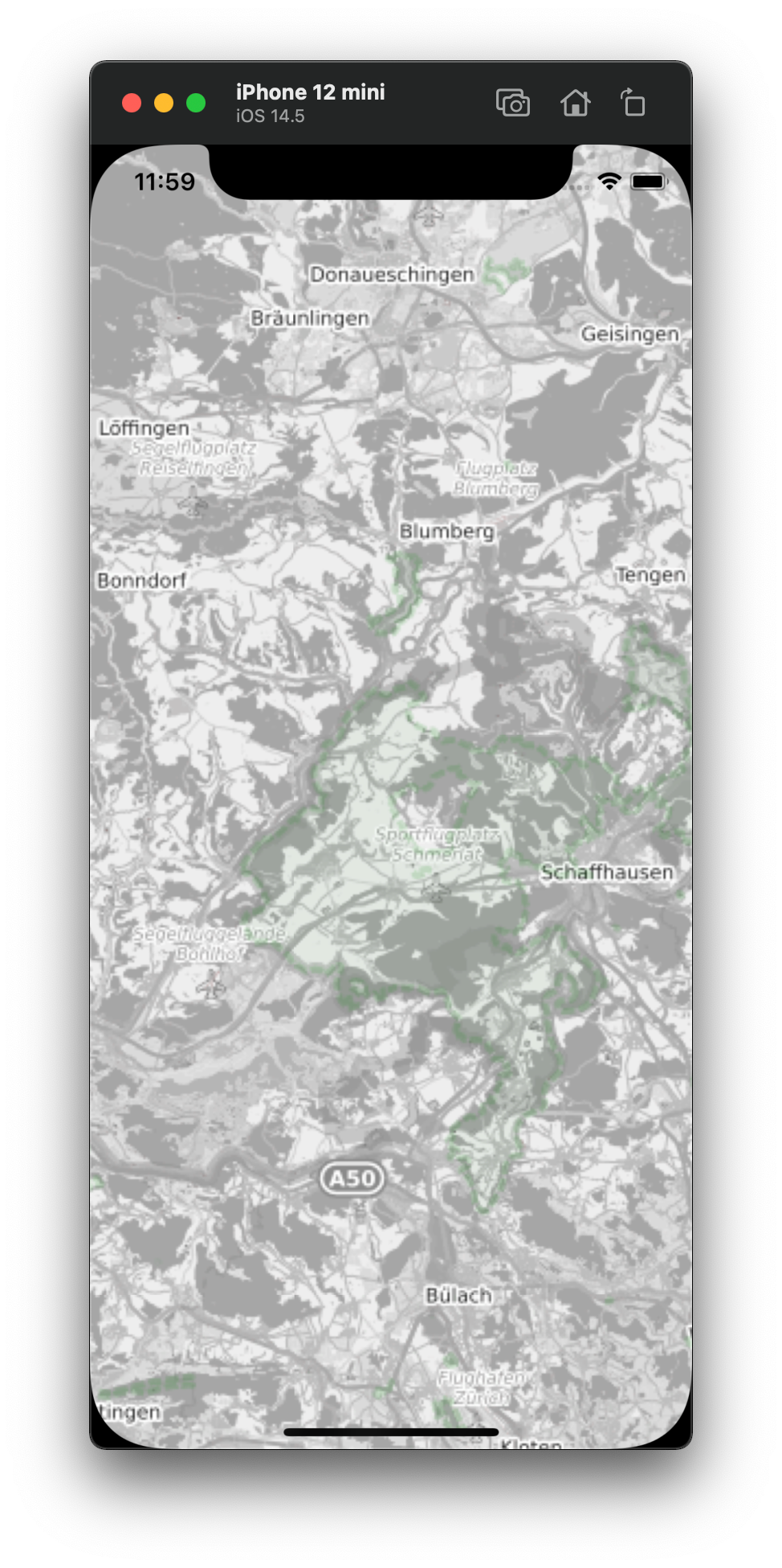
The more I play around with the Open Mobile Maps-SDK, the more I like it. You can add polygons and lines and icons and it features gestures like pinch-to-zoom and double-tap-to-zoom. To me it feels like a great alternative to competitors like Apple Maps and Mapbox when it comes to building apps with maps.
There's same sample code that I put into a sample app. Oh, and here's a picture I took on a hiking trip a few days ago:

I guess I'll just have to stay in this country.